Streams
Floodplains
Rivers utilize floodplains during high water conditions to reduce streambank pressure, slow the water, and prevent downstream flooding. Building or filling in a floodplain not only puts your property at risk, but also can impact upstream properties if you live in a flood plain. Contact your local town or village for permit info. Visit here to access the FEMA Flood Map Service Center (MSC) to better understand flood risks in your area.
Erosion and Stream Dynamics
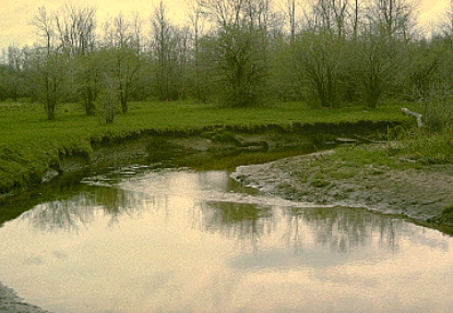
The most stream erosion occurs during high flow conditions, when large amounts of water produce more energy than the stream is equipped to handle. Streams maintain a dynamic equilibrium in order to keep the system’s energy constant. As conditions shift, the stream adjusts to find a new equilibrium to continually minimize the energy of the system.

Riparian Buffers
Functioning riparian buffers provide extensive water quality benefits including erosion control and stabilization, pollutant filtration, stormwater runoff reduction, flood impact reduction, air quality improvement, aesthetics, and carbon sequestration. Buffers of 10-25 feet are recommended for most streams and using a mix of native woody shrubs and trees, along with a native groundcover will give the best root structure and stability. Maintaining the buffer is important and includes not mowing to the edge of a stream and replacing dead plants in the buffer zone.

Buffer installed near Henrietta Town Hall in the Town of Henrietta on an unnamed tributary to Red Creek. Buffer ran 400 feet long and was between 30-50 feet wide on either side of the tributary. Note the lack of mowing to the edge now that has significantly slowed erosion to this property. Before the buffer, there was absolutely no trees, shrubs, other plants along the edge and erosion was evident along the entirety of its stretch and will filter stormwater runoff and increase overall water quality.

Buffer installed in Legion Eyer Park in the Town/Village of East Rochester running 550 feet long and 15 feet wide along a stretch of Irondequoit Creek. Severe erosion is occuring in areas of this stretch so the buffer (a mix of trees and shrubs) will provide erosion control, filter stormwater runoff, improve water quality, and create safer fishing conditions for this popular trout stream.

Buffer installed at Union Station Park in the Town of Chili on an unnamed tributary to Black Creek to filter nutrients from stormwater runoff and prevent mowing to the edge.
